The LAPD’s expansion of its drone program—officially designated as Small Unmanned Aerial Systems (sUAS)—is not a mere hardware upgrade; it is a fundamental shift in the geometry of urban surveillance. By introducing autonomous and semi-autonomous flight paths into the existing framework of the Air Support Division (ASD), the department is attempting to solve a specific bottleneck in the physics and economics of aerial policing. Traditional rotary-wing assets like the Bell 206 or Airbus AS350 are governed by high hourly operating costs, significant acoustic footprints, and the physical limitations of "loitering" in dense urban canyons. sUAS technology functions as a force multiplier that targets these specific friction points, shifting the tactical burden from expensive, manned platforms to agile, low-cost sensors.
The Tri-Axis Utility Framework
The deployment of drones within a major metropolitan police force follows three distinct logical axes: Tactical De-escalation, Operational Persistence, and Fiscal Optimization.
1. Tactical De-escalation and Risk Mitigation
The primary utility of sUAS in standoffs and high-risk warrants is the decoupling of "eyes on target" from human exposure. In a standard tactical approach, officers must maintain a visual line of sight, which often requires entering the "fatal funnel" of doorways or windows. A drone converts a high-risk physical presence into a low-risk digital presence. This shift alters the psychology of an encounter. The absence of a physical officer can reduce the "pressure of presence" on a barricaded suspect, potentially extending the timeline for negotiation before lethal force is considered.
2. Operational Persistence and Urban Access
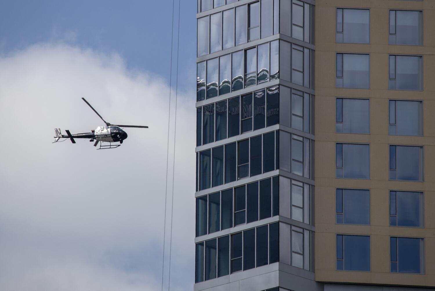
Los Angeles presents a unique topographical challenge for aerial units. Skyscrapers and narrow alleys create "dead zones" where a helicopter’s camera angle is obscured by the built environment. sUAS platforms operate within these micro-environments. Where a helicopter must maintain a safety altitude of 500 to 1,000 feet, a drone can hover at 30 feet, providing a lateral view of second-story windows or looking under highway overpasses. This creates a continuous chain of custody during foot chases that traditional air support often loses in the "urban canopy."
3. Fiscal Optimization
The hourly cost of operating a police helicopter—factoring in fuel, specialized maintenance, pilot salaries, and insurance—regularly exceeds $1,000. In contrast, the electricity and depreciation costs of a high-end sUAS are negligible. By offloading routine surveillance, perimeter containment, and post-incident documentation to drones, the department can reserve its manned fleet for high-speed pursuits and long-range transport where velocity is the deciding factor.
The Surveillance Asymmetry Paradox
The integration of sUAS introduces a paradox in public perception and legal scrutiny: as the cost of surveillance drops, the frequency of its application tends to rise, often outpacing the development of governing policy. This is not a matter of intent, but a matter of technical friction. When surveillance is expensive (helicopters), it is reserved for emergencies. When it is cheap (drones), it becomes a default setting.
Data Retention and the Digital Dragnet
The core technical concern is not the flight itself, but the payload. Modern sUAS are equipped with thermal imaging (FLIR), 4K zoom lenses, and, potentially, facial recognition or license plate reading software. The "surveillance" aspect mentioned in recent reports refers to the shift from active tracking to passive data harvesting. If a drone is used to monitor a protest or a public gathering, the metadata captured—the unique identifiers of mobile devices or the biometric data of participants—exists long after the drone has landed.
The mechanism of concern here is the Persistence of Record. Unlike a human officer who may forget a face, the sUAS creates a high-fidelity digital twin of the environment. Without strict "Purge-on-Arrival" protocols—where footage is deleted unless it contains evidence of a specific crime—the drone program risks becoming a permanent, mobile extension of the city’s fixed camera network.
Technical Constraints and Atmospheric Bottlenecks
Despite the perceived omnipotence of drone technology, significant physical and regulatory constraints limit their efficacy. These are the "hard ceilings" that prevent sUAS from fully replacing manned aviation.
- The Battery Threshold: Current lithium-polymer (LiPo) technology limits flight times for tactical drones to approximately 20 to 40 minutes. In a dynamic standoff that lasts six hours, this requires a "daisy chain" of multiple units and a dedicated ground station for rapid battery swaps. This logistical tail increases the manpower required for what was supposed to be an automated solution.
- Radio Frequency Interference (RFI): Los Angeles is one of the most RF-congested environments in the world. Between high-power cellular towers, Wi-Fi saturation, and commercial aviation signals, drones often face signal degradation. A "lost link" scenario in a crowded residential neighborhood is a high-liability event that manned helicopters do not face.
- Weather and Wind Shear: The "canyon effect" between buildings creates unpredictable micro-currents. While a 5-ton helicopter can fly through significant turbulence, a 5-pound drone can be rendered unflyable by a 25-knot gust, making it a fair-weather asset.
The Architecture of Accountability
To move beyond the "surveillance" stigma, the LAPD must transition from a policy of permission to a policy of verifiability. This involves three structural requirements:
Geofencing and Mission Locking
The hardware should be programmed with "digital no-fly zones" that prevent drones from hovering over private backyards or non-target residences unless a specific "Mission Unlock" code is generated by a commanding officer. This creates a digital audit trail that proves the drone was not used for warrantless "peeping" during transit to a scene.
Transparent Flight Logs
Public trust is a function of transparency. A "Master Flight Log" should be accessible to civilian oversight boards in real-time, showing the takeoff time, the specific incident number associated with the flight, and the duration of the recording. If a drone is in the air, the public should be able to verify why it is there.
The Human-in-the-Loop Requirement
The most significant risk in drone policing is the "Autonomy Slide"—the gradual handover of decision-making to AI algorithms. Whether it is identifying a weapon or a suspect's face, the system must be hard-coded to require a human "validation step." The drone provides the data; the officer provides the judgment. Any deviation from this creates a catastrophic liability gap where a software glitch could result in a civil rights violation.
Operational Logistics of the Modern Air Support Division
The future of the ASD will likely look like a "hub and spoke" model. The helicopters act as the hubs—high-altitude command and control centers that can see the entire city. The drones act as the spokes—deployed from the back of patrol cruisers or automated "nest" stations on rooftops to handle the "last mile" of tactical visibility.
This model solves the response-time problem. A helicopter may take five minutes to cross the city; a drone stationed at a local precinct can be in the air and over a scene in 45 seconds. In life-critical situations, such as an active shooter or a high-speed chase ending in a crash, those 4.25 minutes are the difference between containment and chaos.
Strategic Forecast: The Move Toward Swarm Logic
The next logical evolution for the LAPD is not more drones, but better coordinated ones. We are approaching a phase where "Swarm Intelligence" will allow multiple sUAS units to work in concert. In a foot pursuit, one drone stays high to track the general direction, while a second drone stays low to navigate around obstacles, and a third identifies potential escape routes.
This level of coordination requires a robust data backbone that Los Angeles is currently building. The challenge for the city is not the technology itself, but the governance of the data it produces. The LAPD is currently in an "adoption phase," where the novelty of the tool overshadows the complexity of the data management. The shift to a "maturity phase" will require a total overhaul of digital evidence storage and a rebranding of the drone from a "spy in the sky" to a "tactical safety sensor."
The strategic move for the department is to treat sUAS as a defensive tool first. By prioritizing their use in situations that protect officer life—bomb threats, hazmat spills, and barricaded suspects—they can build the "social license" required to eventually use them for broader, proactive patrol duties. Without this staggered approach to public trust, the program will likely face a legislative "hard stop" before it can reach its full operational potential.